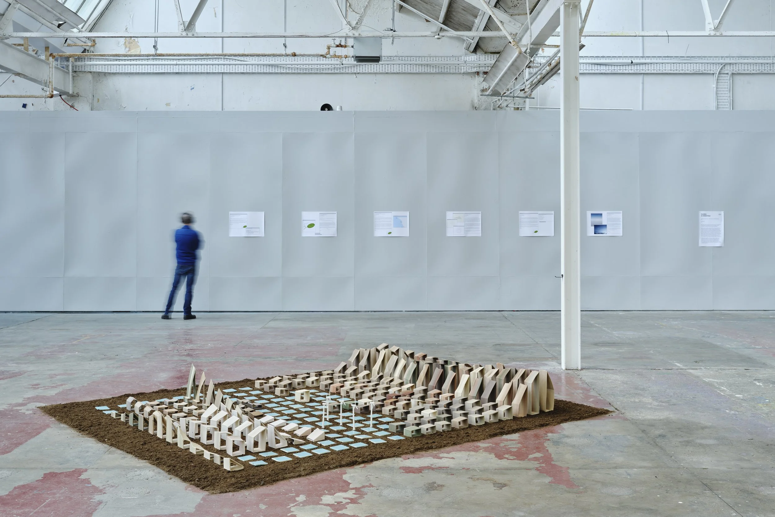
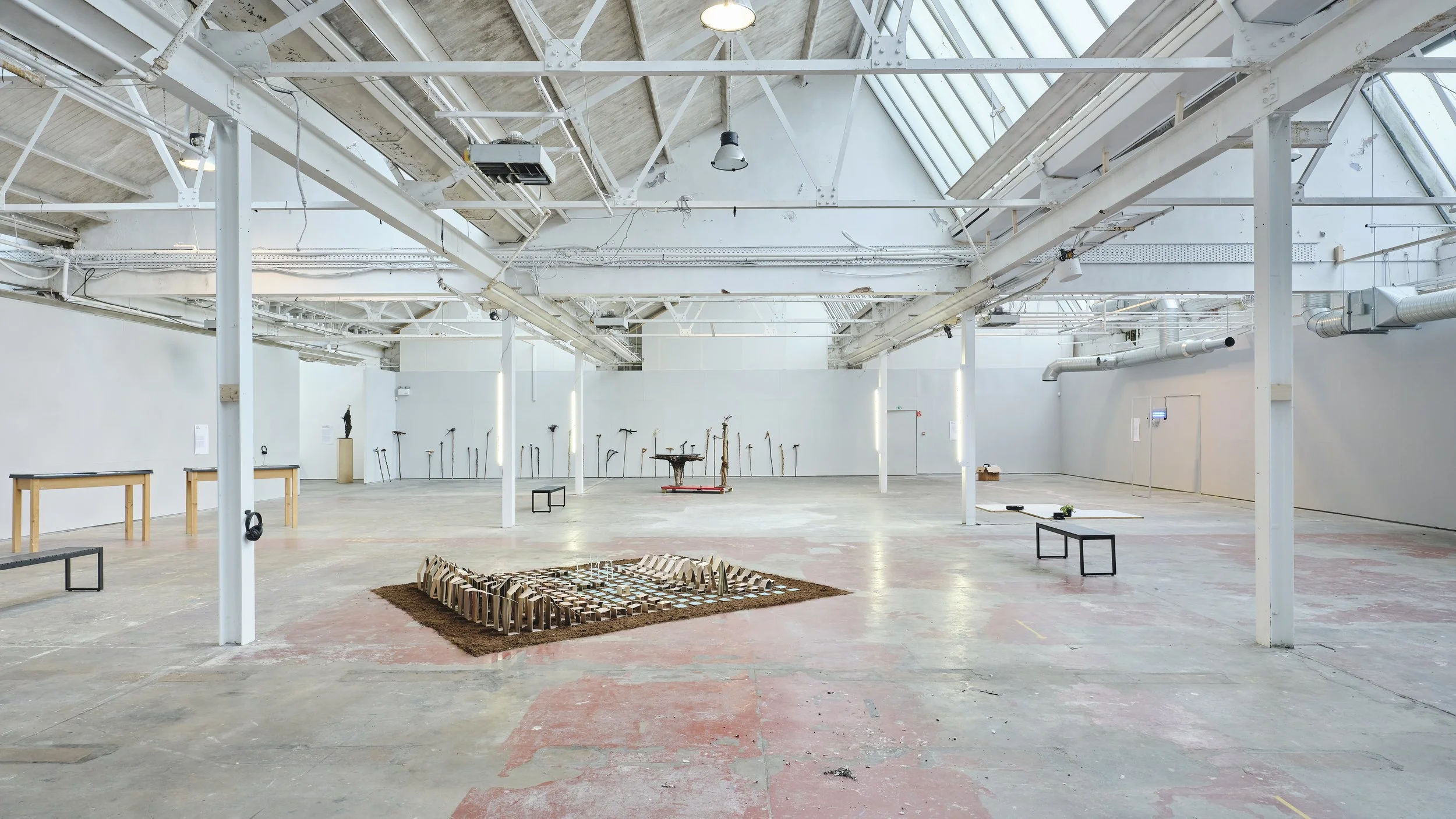
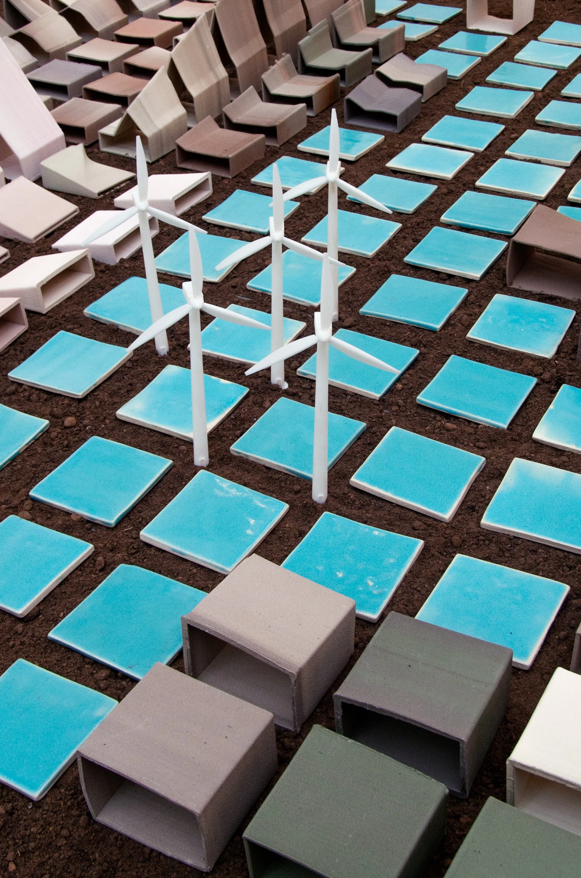
Artwork: ‘X’ Mapping, 2021
Future cities are currently being planned with statistics from the past, constructed by the data gathered by different government statistics offices. They project the future through the trajectories of the present. I use these data sets to construct a map of a ‘future city’, modelled off of the coastline of the Irish Sea. Combining flat tiles and 3D ceramic printing, I translate CO2 emission data sets into infographics in 10 x 10 cm grided segments, replicating the dioramas of city planners and museum displays.
Dimensions: 2 x 4 meters
Materials: 3D printed ceramic data sets stained with iron oxide and chrome; Domestic Extraction in Ireland 1994-2018, Greenhouse emissions in Ireland 1994-2007, Construction emissions rates in Ireland 2009-2017, CO2 emissions in the United Kingdom 1990-2018, 3D printed resin wind turbines, soil
Shown at: Goldsmiths MFA Degree Show, 2021, D-Lab Studios, London, 2021, PULSE, Limerick City Gallery, 2022, TULCA, Printworks Gallery, 2024
Images taken by Ros Kavanagh
‘X’ Mapping in PULSE, Limerick City Gallery, 2022
Images courtesy of the artist.


